Location intelligence has been widely used in every industry and the logistics and transportation industries are no exceptions.
According to a study by Dresner Advisory Services, 53% of enterprises consider location intelligence as critical or very important to achieving their goals for 2020. And, according to Grand View Research’s market analysis report, the global location intelligence market size was valued at $10.6 billion last year.
Clearly, if you don’t use location intelligence to improve the efficiency of your operations, your business may lag behind.
If you use GPS and geographical information system (GIS) technologies, location intelligence can help you plan, monitor, and manage complex services like fleet management and logistics to increase the performance, cost-effectiveness, and productivity of your business.
Isn’t that exactly what you want?
But, before adopting the innovative technology, you first need to know what location intelligence really is and how it can impact your business. All of this we discuss below; so read on.
What Is Location Intelligence?
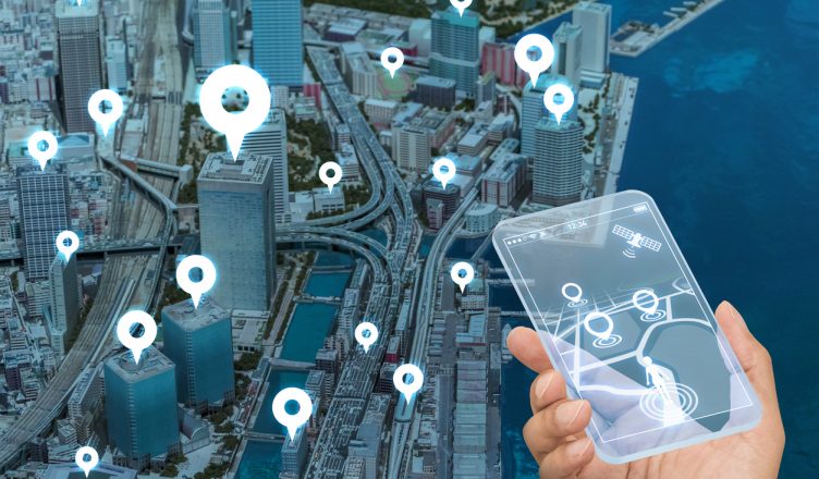
Location Intelligence refers to insights gained from analyzing location data and using the insights to choose a suitable course of action.
GPS and GIS technologies collect data from vehicles, roads, city infrastructures, and location platforms, and display the data on a map-centric interface to create location insights and translate them into improved performance and cost-effectiveness. So, when the location is known and the data from that location is analyzed, patterns and trends emerge. By analyzing the data, business intelligence (BI) can be developed.
In this way, a transport company may, for example, find that certain roads in a certain city become congested during office hours. This knowledge can then be used to plan better routes.
Basically, location intelligence software allows for the visualization of data in intuitive ways.
Want To See For Yourself How Route4Me Can Boost Your Profits?

What Are the Benefits of Location Intelligence?
The transportation and logistics industry is the perfect example of how location-based intelligence helps remove constraints and enforces business transformation. Here are a couple of benefits of the technology:
Tracks Your Vehicles
Real-time location intelligence through vehicle tracking is very useful for field service businesses. With GPS tracking, you can view the actual location of your vehicles on a map at all times.
GPS tracking is possible when vehicles have tracking units installed, for example, in the form of an app on the drivers’ smartphones. GPS satellites can then send a signal to the tracking unit. Data from the traffic unit is transferred to a cloud server and finally to a vehicle tracking interface.
In this way, you don’t need to call up drivers to know where they are. Instead, you can learn the whereabouts of your vehicles in real-time.
Vehicle tracking translates into many benefits, such as:
Track Unauthorized Movements
A commercial GPS tracker allows you to identify any unauthorized detours easily.
Also, when your drivers know that their movements are being followed, they will not waste company time by sticking to your instructions which will increase productivity.
When you track the vehicles, you will also be able to avoid excessive idling.
Ensure Driver Safety
Aggressive driving, such as speeding, harsh braking, and turning quickly, and other unsafe practices, such as not wearing seatbelts and texting while driving, increase the risk of road accidents.
Tracking and data visualization with the help of location intelligence tools will let you know when your drivers resort to such potentially damaging behavior. You can then communicate with the drivers immediately to ensure they follow safe driving standards.
Your vehicles could also break down in the middle of the road in remote places. If you know where your vehicle is in real-time, you can take corrective action before it impacts your customers negatively.
For example, you can send roadside assistance right away or inform your customers that there will be a delay.
Keep Your Customers up to Date about Delivery Status
GPS tracking makes geofencing possible which enables you to place virtual perimeters around each customer location. When the delivery vehicle crosses this geofence, an SMS notification is automatically sent to the customer, informing him or her that the package is nearby.
You can also share the tracking link of your routes with your customers. They will then know the exact location of the delivery vehicle by logging in to the customer portal, which is only offered by the best route planners.
If you want, you can also track the quality of your merchandise and surrounding weather conditions.
All such measures result in satisfied customers.
Helps You Optimize Routes
Without the right location data, your drivers will spend more time traveling around than making stops or deliveries. So, manually planning (and especially guessing) routes, using pen and paper, Apple Maps, or Google Maps is never a good idea.
Advanced vehicle routing and scheduling solutions powered by location intelligence technology can combine real-time data from cameras, infrastructure sensors, traffic feeds, and so on and come up with well-optimized routes with almost 100% accuracy for your drivers. It even does all this within a minute.
These routes also weigh in various factors, including the optimal green times for traffic lights in potentially congested areas, avoiding left turns where possible (since left turns are dangerous and often waste time), closed roads due to construction, newly opened roads, avoidance zones, weather conditions, and more.
You just need to enter the addresses you want to visit into the route optimization software, set the constraints (such as the number of vehicles and acceptable time window for each customer), and the delivery scheduling software will analyze millions of possible scenarios to find the best routes.
Location intelligence also keeps improving the routes.
A delivery route planner app, with an integrated GPS tracking feature, collects geospatial data from the various locations and each route is stored.
The software learns from the previous instance and continually tries to find a better route each time you use it to plan your resource and shipment allocation as per your capacity and customer demand.
Since the best route for each vehicle is provided, your drivers don’t need to travel for longer. This reduces fuel costs and other operational costs.
Also, a delivery route planner powered by location intelligence technology comes with a reporting and analytics feature that provides historical data on fuel consumption, stops and routes completed, average time spent on site, planned versus actual time, and more.
This helps you keep your transportation expenses under control and improve performance.
So, are you ready to use the benefits of location intelligence tools?
Want To See For Yourself How Route4Me Can Boost Your Profits?